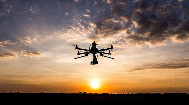
The Drones makes our life more convenient
Oct 5th 2016
Since FAA announced the Unmanned Aircraft system product to be legal, more and more companies start to research it. It is a amazing product for commercial use, especially for the aerial photography,survey, searching, and security application. Peoples are moving for it although the pilots need takes time and be certified by FAA. It will free the human power and save time for some complicated job, no need to take huge money to rent a helicopter for filming, unnecessary to climb the windmill pump and check if the screws are still working.
Surveys of streets, of public infrastructure in general, belong to standard tasks of every surveyor and are assigned to the field of geodesy. The tachymeter is the main working equipment to create official layout plans, border establishment, control measurements as well as survey site plans and contour maps.
If the UAV totally instead of the heavy tachymeter equipment in one day, then you can take time for a cup of Cappuccino.
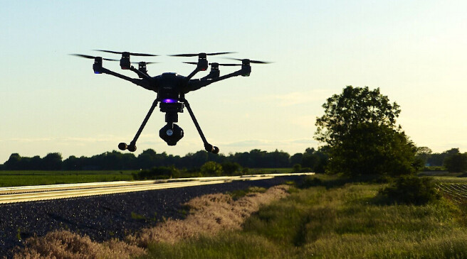
Actually,this have been achieved. US brand MarcusUAV Zephyr2 did a good job on Surveying. All function of the Zephyr2 are controlled by the user's ground station PC and software.Once flight parameters are sent to the Zephyr2 systems on board memory. The Zepgyr2 flies it's course until new flight instructions are given.
 Surveying